Deep Sea Mining
Deep-Sea Resource Extraction Systems
Isometric infographic / Research Visualization

The challenge: Deep-sea mining spans multiple, easily-confused dimensions at once — physical infrastructure (seafloor tools, risers, vessels), a supply chain (extraction to refining), and a legal geography (international vs. territorial waters). Flattening all three into one diagram without one dimension obscuring the others is the core difficulty.
The approach: I used an isometric cutaway to show the vertical journey from seafloor to surface — 4 km of depth and 1,800 km of transport distance — while color-coding the jurisdictional zones (international waters, territorial waters, continental shelf) as background bands the infrastructure sits within. Each stage of the extraction and transport chain is labeled directly at its point in the diagram, so viewers can trace the full path from nodule collection to onshore refining without cross-referencing a separate key.
The result: A single, scaled infographic that makes the physical, logistical, and legal complexity of offshore mineral extraction legible at a glance — suitable for scientific presentations and public communication.
Similar projects
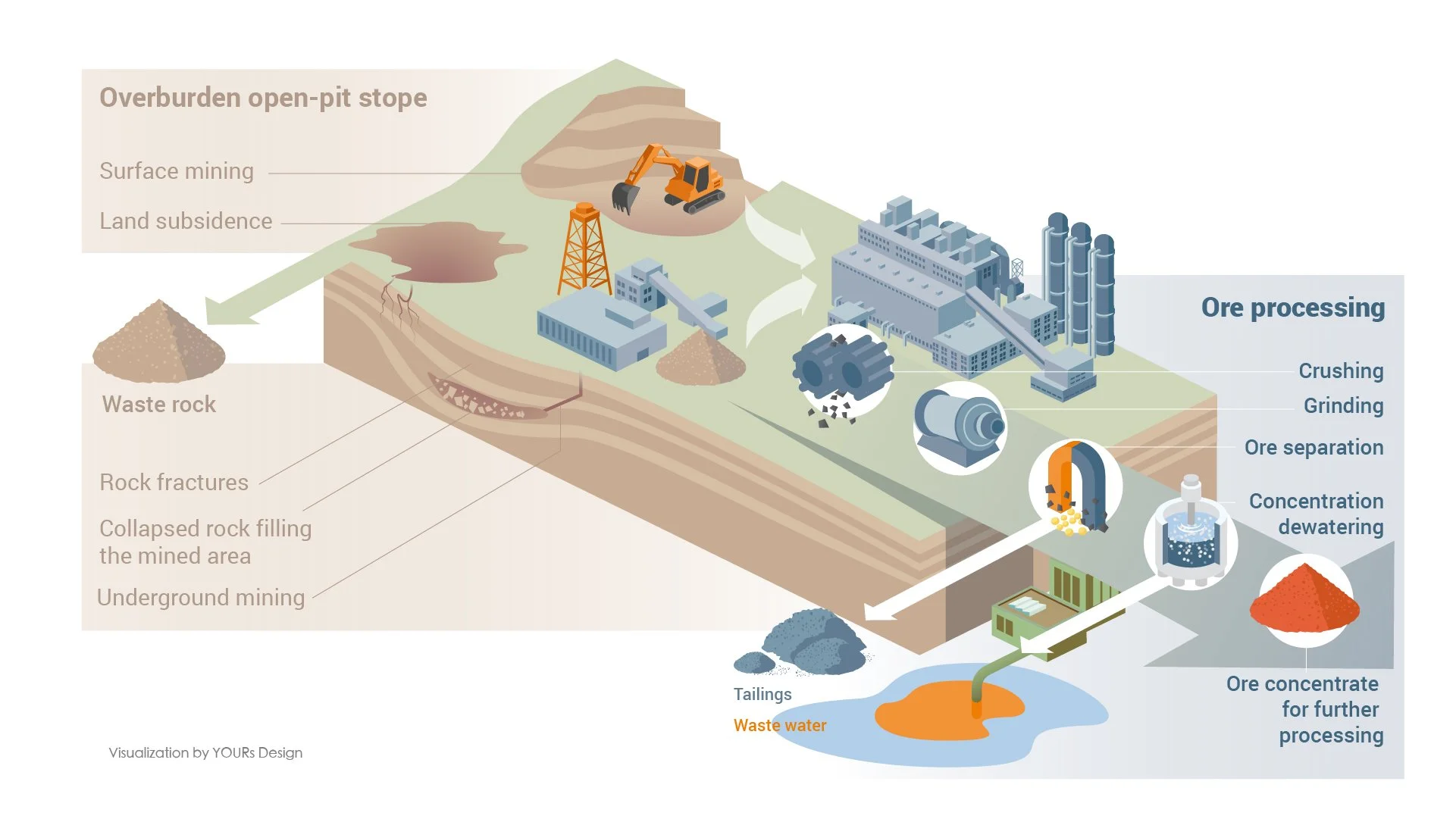
Mining process and waste

The role of precious metals on the hydrogen
This work was created in collaboration with Max-Planck-Institut for sustainable materials. All rights reserved. Please do not reuse without permission.